Comagna Head, from Col Tsécore


Edited by:
Massimo Martini
Updated at: 16/06/2025
Access
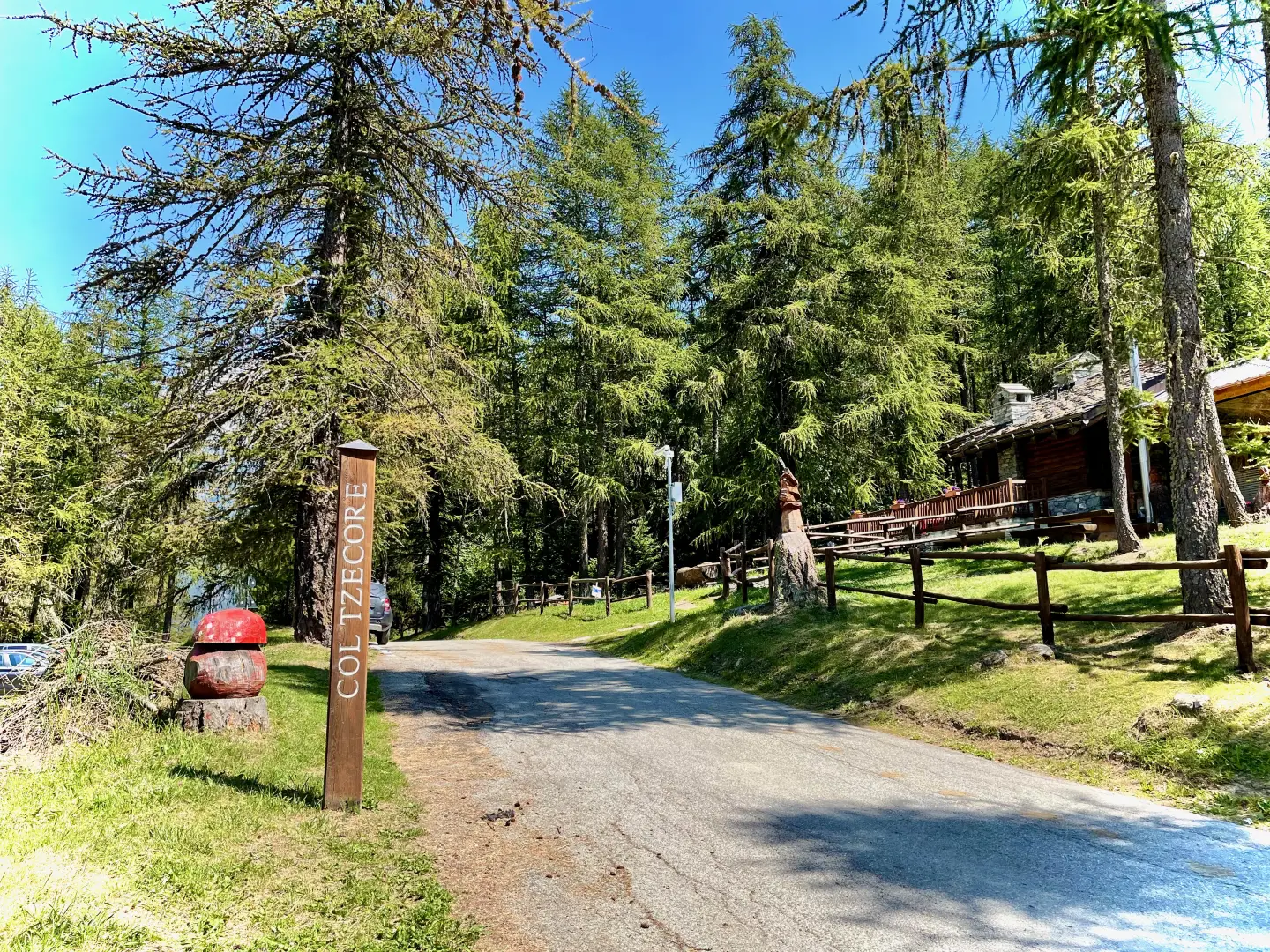
From the motorway exit at Châtillon, turn right and head towards the spa town. Pass a traffic light and continue straight on entering Saint-Vincent. At the roundabout in front of the Casino de la Vallée, take the second exit onto Via Marconi. After about 300 metres, at the roundabout in front of the Olympic Restaurant, take the third exit and turn left into Via Conti di Challant. Continue for 160 metres, then turn right and take the regional road , to be followed for 8.7 kilometres, passing the villages of Moron, Grun and Salirod. Just past the television repeater antennas, you will come to the junction with the regional road : turn right and continue for a further 6 kilometres along the regional road, passing through the villages of Ravet and Sommarèse until you reach Col Tsécore, where, on the left, there is a small free car park 🅿️. On the opposite side of the car park there is a picnic area with a bar-restaurant service.
The starting point of the itinerary cannot be reached by public transport, so it is necessary to use a private vehicle.
Distance and travel time
🕒 Travel time: 27 minutes
📏 Distance: 17.1 km
GPS navigation
📍 How to get there with Google Maps
📍 How to get there with Apple Maps
ℹ️ Important note
The directions provided were verified on the date the route was surveyed. Before departure, it is advisable to check for any changes to the route. For up-to-date and detailed directions, we recommend the use of Google Maps or Apple Maps.
Introduction
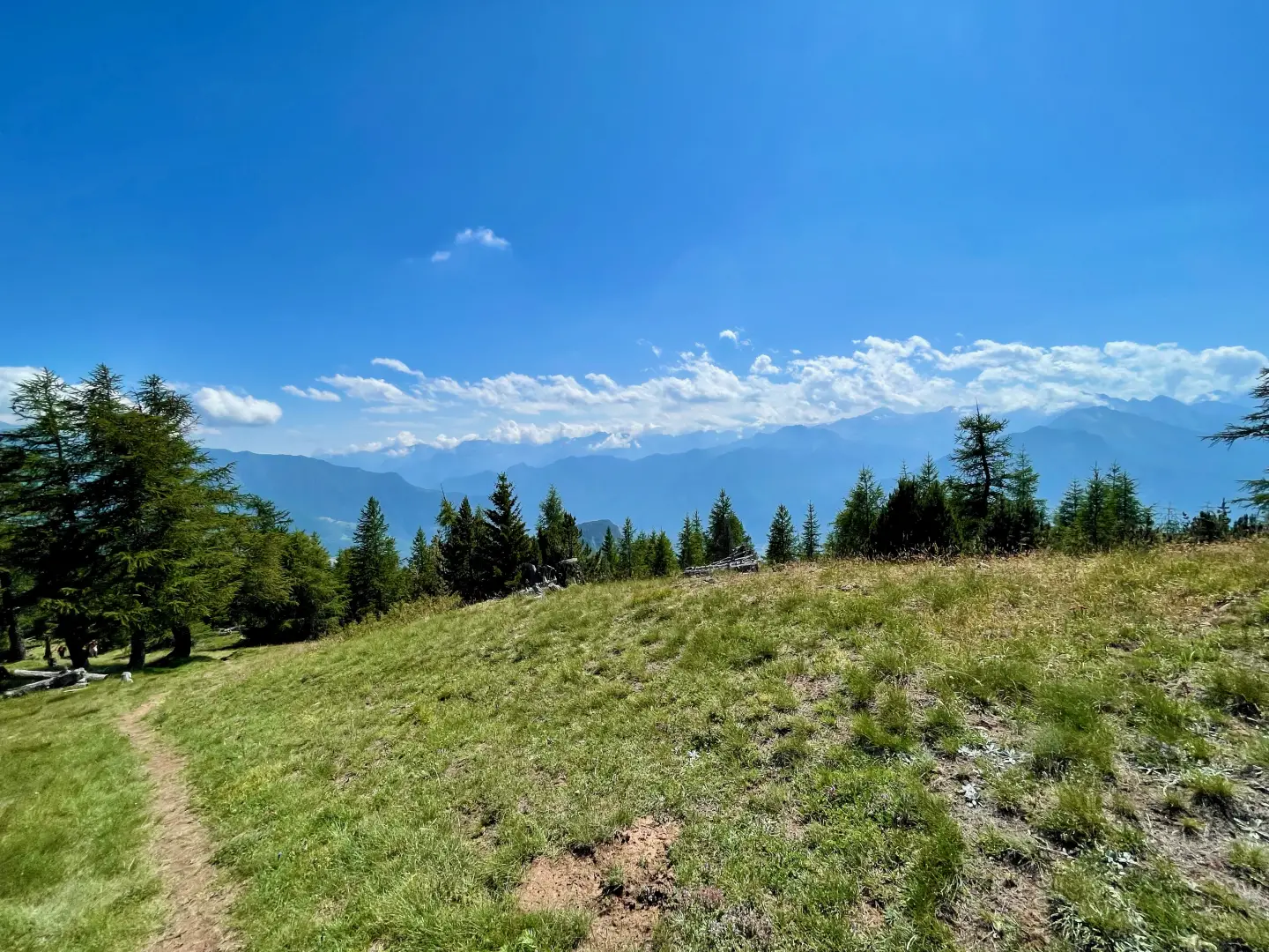
The itinerary towards Testa di Comagna (2105m) winds its way between the central valley and the Val d'Ayas, following a varied and pleasant route that alternates between open pastures, sparse larch woods and increasingly wide panoramic views. The ascent, starting from Col Tzècore, goes through a pleasant forest that gradually thins out with altitude, culminating on a wide grassy knoll leading to the summit, marked by a cross. From here, the view sweeps from the glacial peaks of the Aosta Valley to the Piedmont plain. A hike suitable for those seeking silence, a variety of landscapes and a little-visited peak, particularly suggestive in the soft light of mid-season.
Description
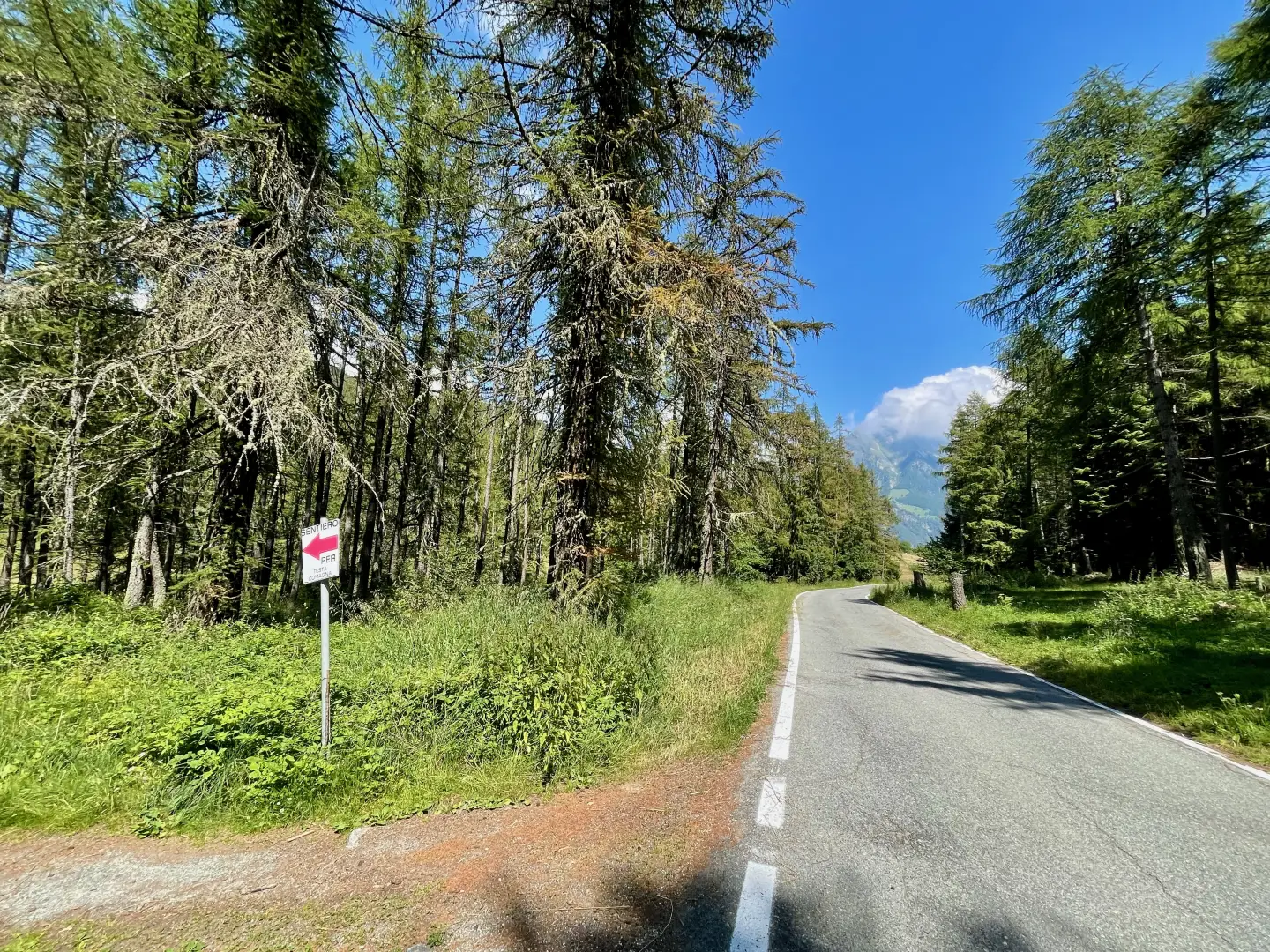
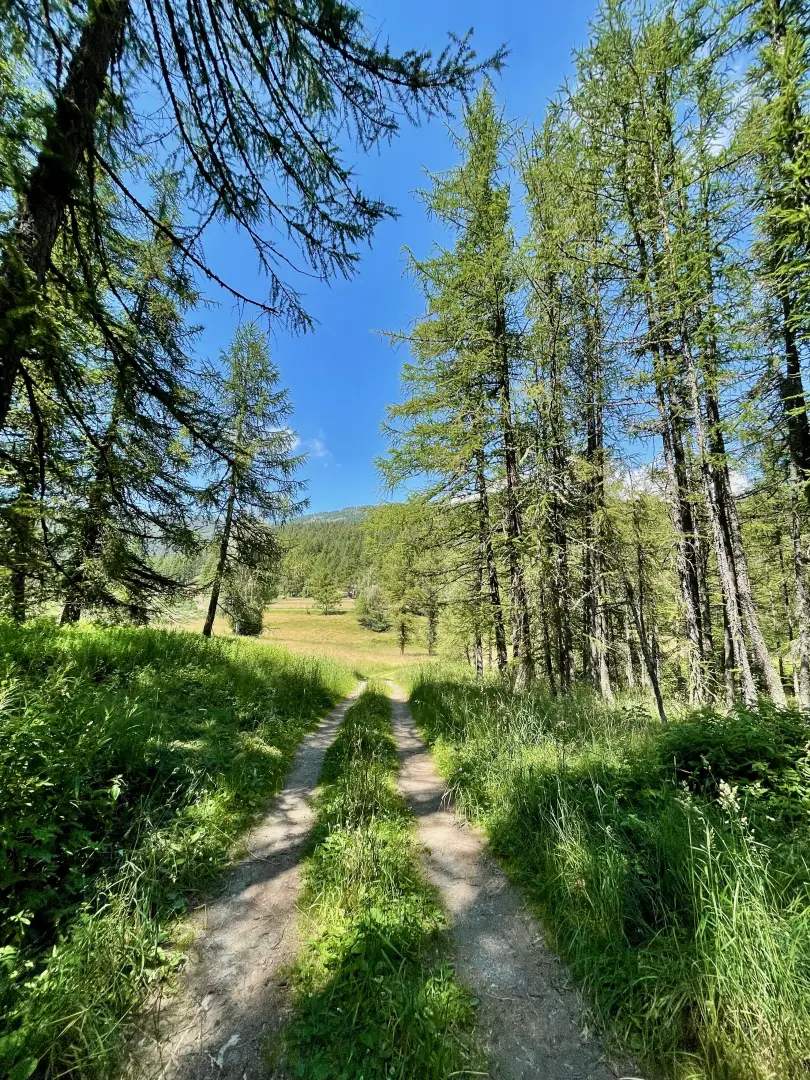
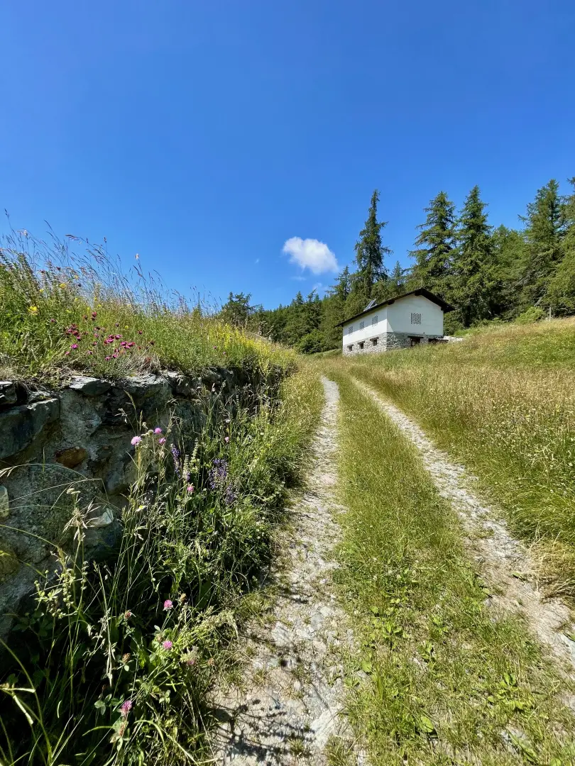
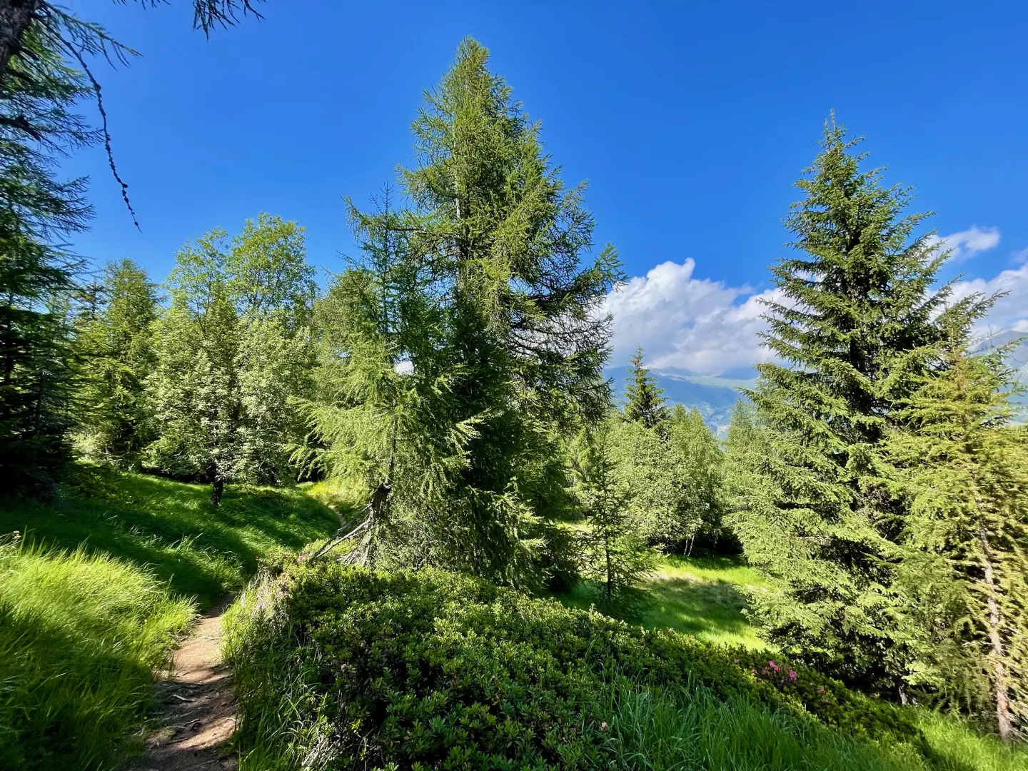
0h00' 0.00km From the car park, go along the regional road for a short distance, cross the pass and reach the signpost indicating "Sentiero per Testa Comagna" (path for Testa Comagna). Turn left and take a farm track that, after crossing a strip of larch woodland (Larix decidua), cuts across the wide pastures of the Tsecore saddle and leads close to a couple of small houses, where the track ends. Continue along the path to a crossroads.
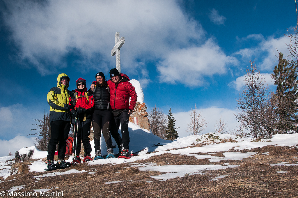
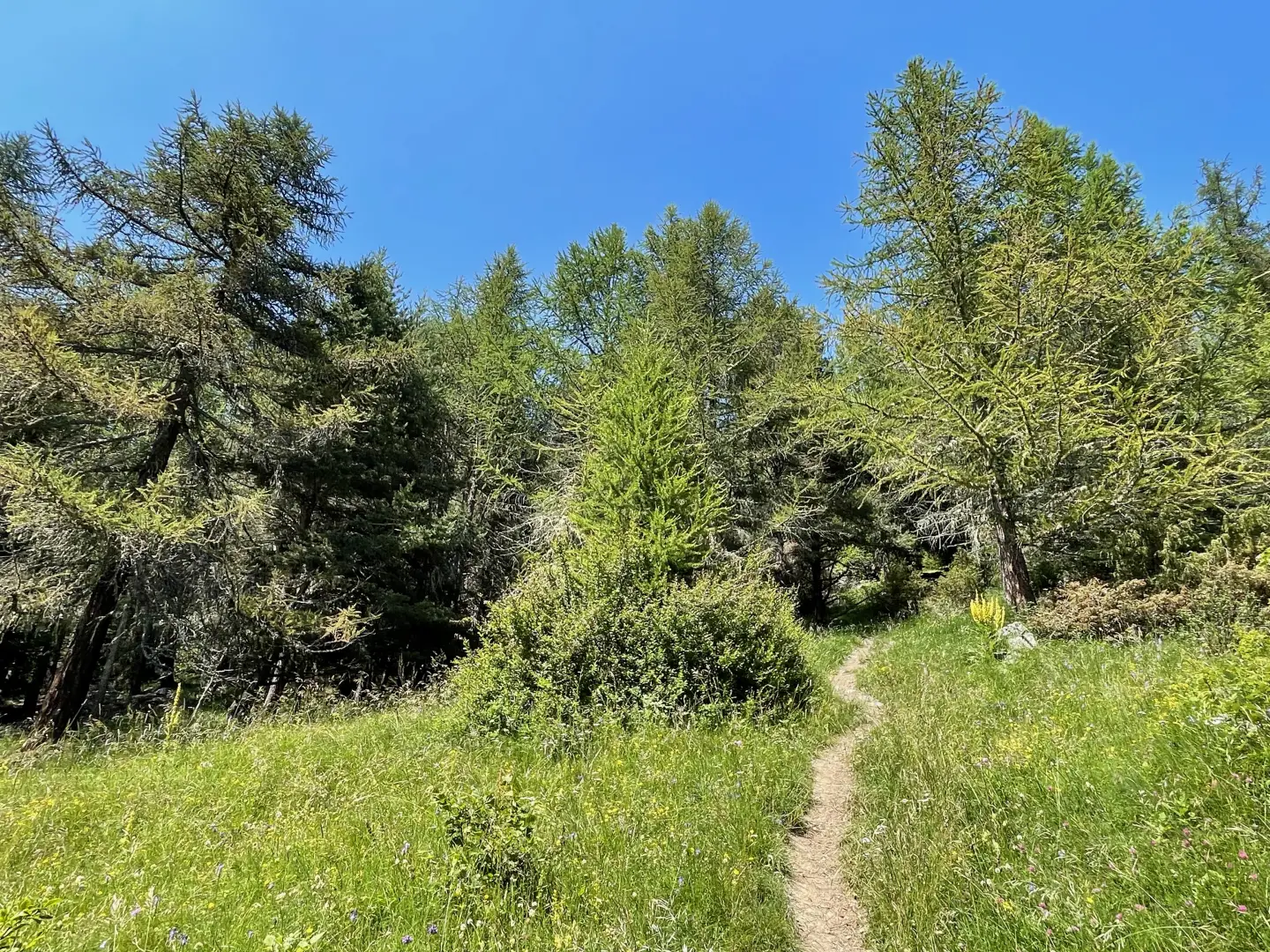
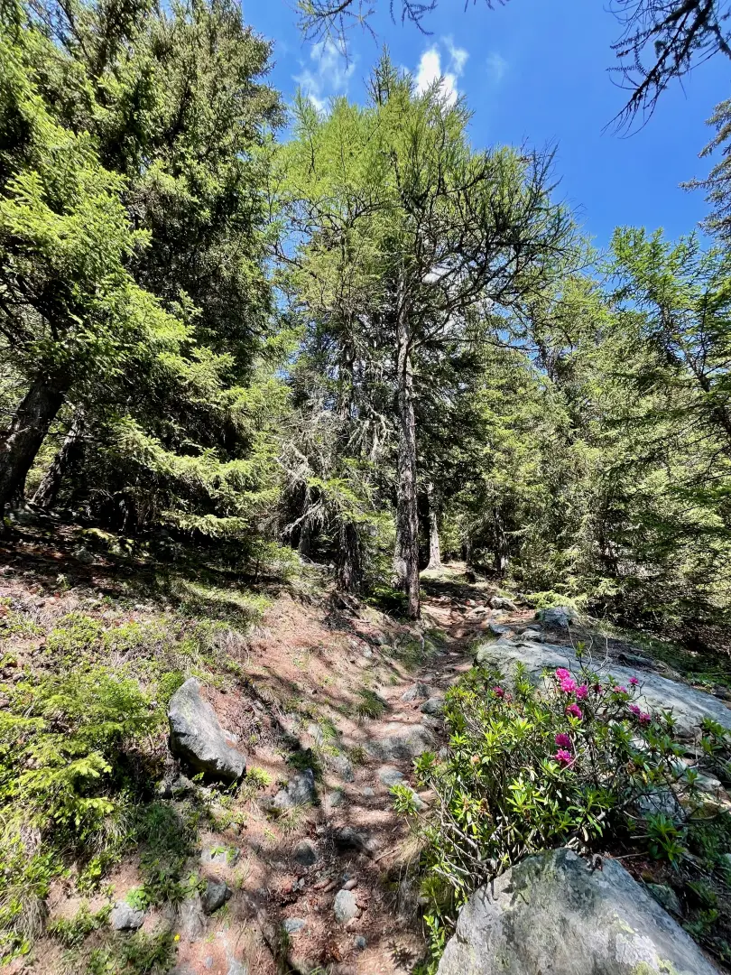
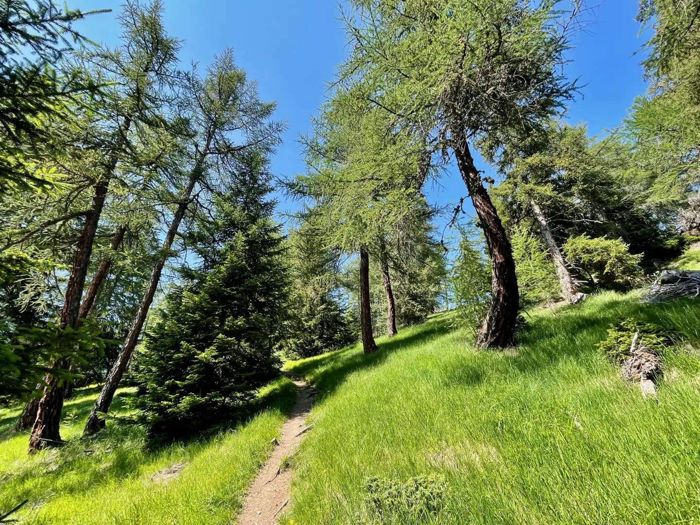
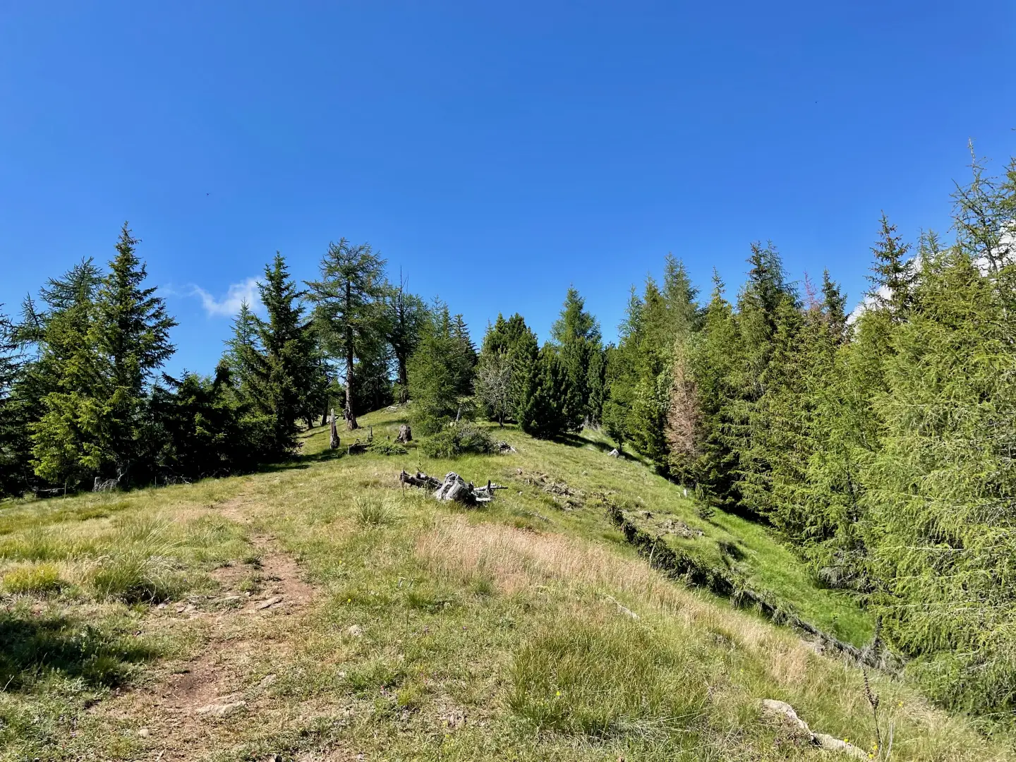
0h10' 0.42km Keep to the right and continue along the obvious path that begins to climb the slope. Leave the pastures behind and cross a larch forest, interspersed with a few patches of rhododendron (Rhododendron ferrugineum). Follow the path that tends to the right, ascending the wooded slope of Mont Tseuc (or Punta Tsécore), where the slope decreases slightly around 1980 m, at a thinning of the forest that gives way to small meadows. Descend and briefly take a grassy track coming from Arbaz and heading towards Praz Boton, to leave it a little further on. Then embark on the ascent of the wide hump leading to the summit. Enjoy the panorama that opens out over the border peaks between Valle d'Aosta and Piedmont, as well as the imposing mountains of Val d'Ayas. Pass the last patches of woodland, reach the summit canopy and, in a few minutes, arrive at the memorial stone surmounted by a cross with a small altar, marking the summit of Testa di Comagna (2105m) 1h30' 2.60km .
The return is along the same route as the outward journey 1h15' 2.50km .
Points of interest
- Col Tsècore
- Testa di Comagna
Collections
Galleria fotografica
We have been there
Edited by:
Massimo Martini
Testa di Comagna
Bell'itinerario di inizio stagione. Abbiamo percorso l'anello con rientro "pedestre" da Sommarèse al Col Tsecore.