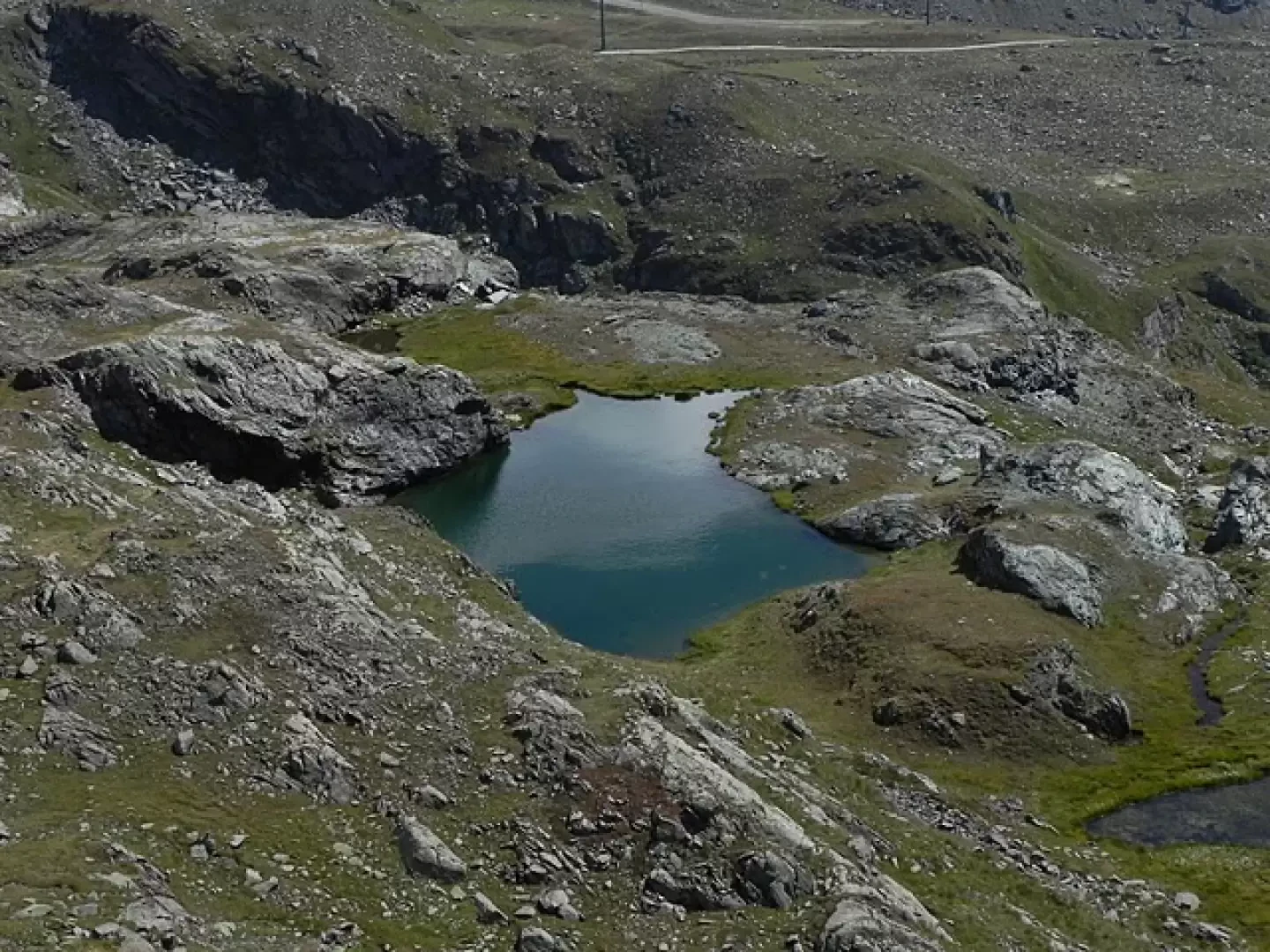
Gressoney Blue Lake, from Staffal


Edited by:
Marcello Rossi
Updated at: 08/06/2026
Access
Navigazione stradale
All'uscita del casello di Pont-Saint-Martin, percorrere la per 750m (750m). Alla rotatoria, prendere la terza uscita e imboccare la . Proseguire sulla per 450m (1,2km), quindi svoltare a destra su Via Gressoney e continuare sulla per 26,8km (28km), attraversando gli abitati di Lillianes, Fontainemore, Issime, Gaby e Gressoney-Saint-Jean. Svoltare a destra per rimanere sulla per ulteriori 6km (34km), quindi proseguire sulla per 3,1km (37,1km) fino a Gressoney-La-Trinité. Mantenere la destra sulla per ulteriori 1,2km (38,3km) fino alla località di Staffal.
Parcheggio
In località Staffal, di fronte alle funivie del Gabiet, si trova il parcheggio 🅿️ a pagamento. È il punto di partenza dell'itinerario.
Accesso con mezzi pubblici
La località è servita dall'autolinea Pont-Saint-Martin – Gressoney del gestore Autolinee Vita Group (V.I.T.A. S.p.A.). La fermata di riferimento è Staffal-Anderbatt. Il servizio è attivo nel periodo invernale; per consultare gli orari aggiornati, visitare il sito di Vita Group.
Distanza e tempo di percorrenza
🕒 tempo di percorrenza: 52 minuti
📏 distanza: 38,2km
Navigazione GPS
Nota informativa
Le indicazioni fornite sono state verificate alla data del rilievo dell'itinerario. Prima della partenza si consiglia di verificare possibili variazioni del percorso o delle condizioni stradali. Per informazioni aggiornate si raccomanda di consultare Google Maps o Apple Maps.
Introduction
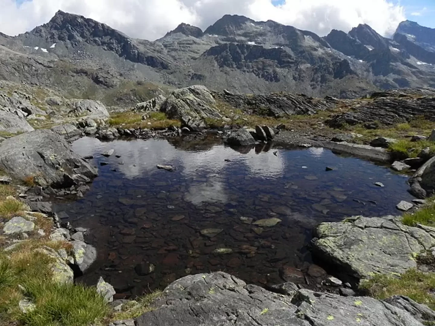
Salita al lago Blu di Gressoney, meno famoso dei due laghi ononimi della valle d'Ayas e di Valturnanche, ma ugualmente bello, per la sua posizione panoramica ai piedi della Piramide Vincent e sulla valle di Gressoney.
Description
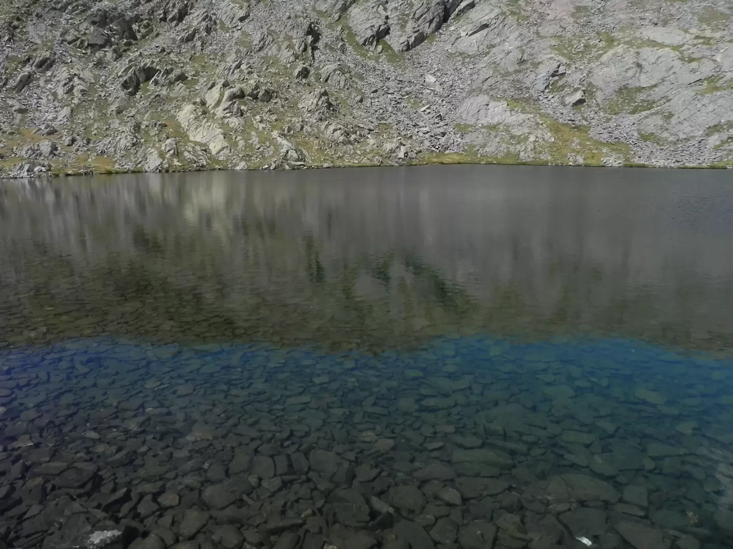
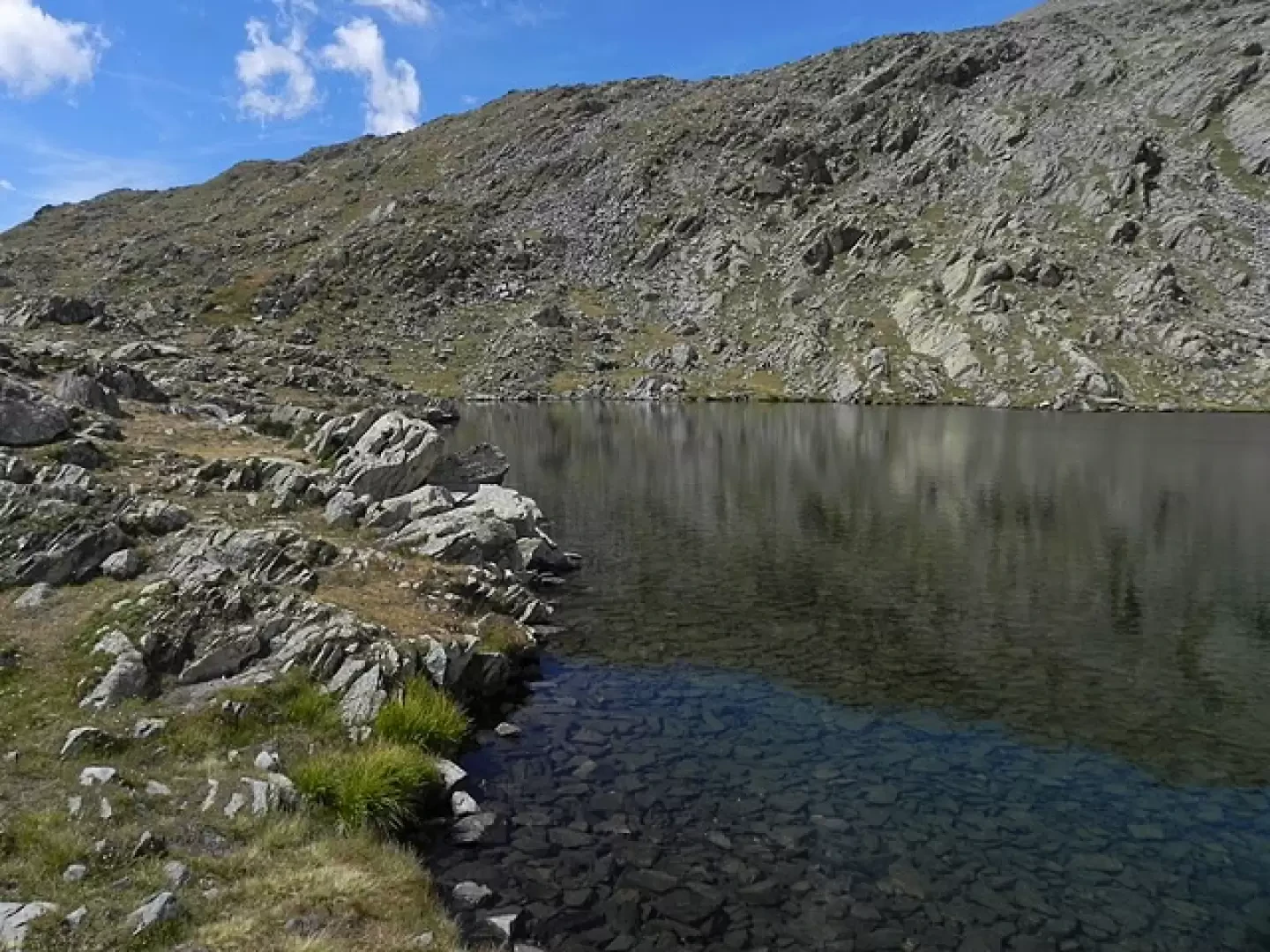
Signposts: TMR (7b) and path 6a Ascent to the Blue Lake of Gressoney, less famous than the two ononymous lakes in the Ayas and Valturnanche valleys, but equally beautiful, due to its panoramic position at the foot of the Vincent Pyramid and over the Gressoney valley. Once in Stafal, take the path that starts alongside the bar along the road (signposted TMR for Lake Gabiet). The path bends to the right and soon reaches a dirt road; follow it until you leave it to climb up along a meadow. Following the path, which is always clearly visible, you soon return to the dirt road and abandon it shortly afterwards. The path climbs at a moderate gradient, following the Stafal-Lake Gabiet cable car, until it reaches the base of the rock face. Here, with a series of ups and downs, it reaches the top of the rock face itself, and shortly afterwards it leads onto a dirt road coming from the arrival station of the cable car. Immediately you come to a fork in the road, turn left and follow the road until you take the path (unnumbered signposts) that follows the course of the stream. At a plateau, the path veers to the left, gaining height with a series of switchbacks. When the slope decreases, you pass two small pools, then with a final climb you reach the Blue Lake.
Galleria fotografica