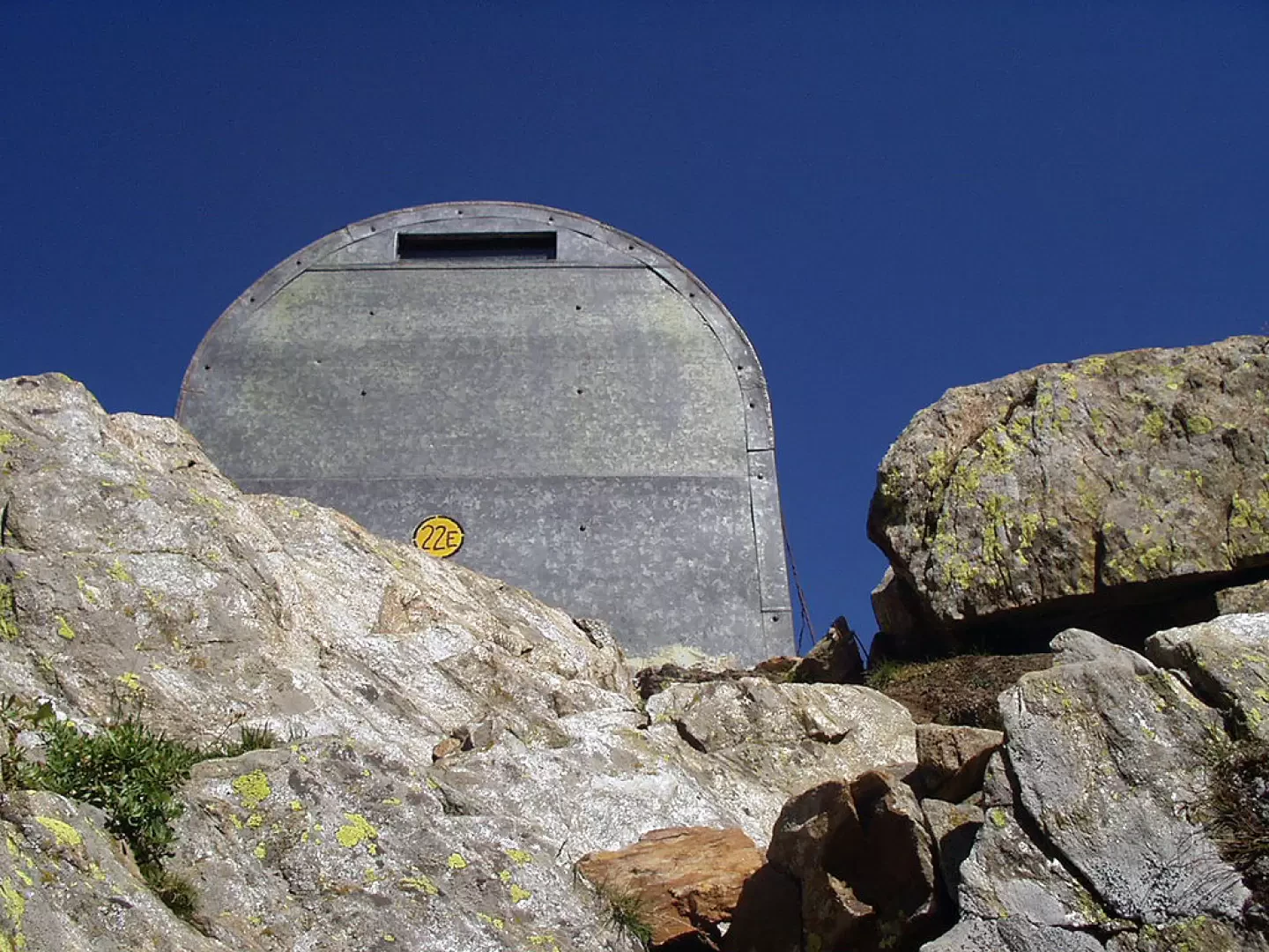
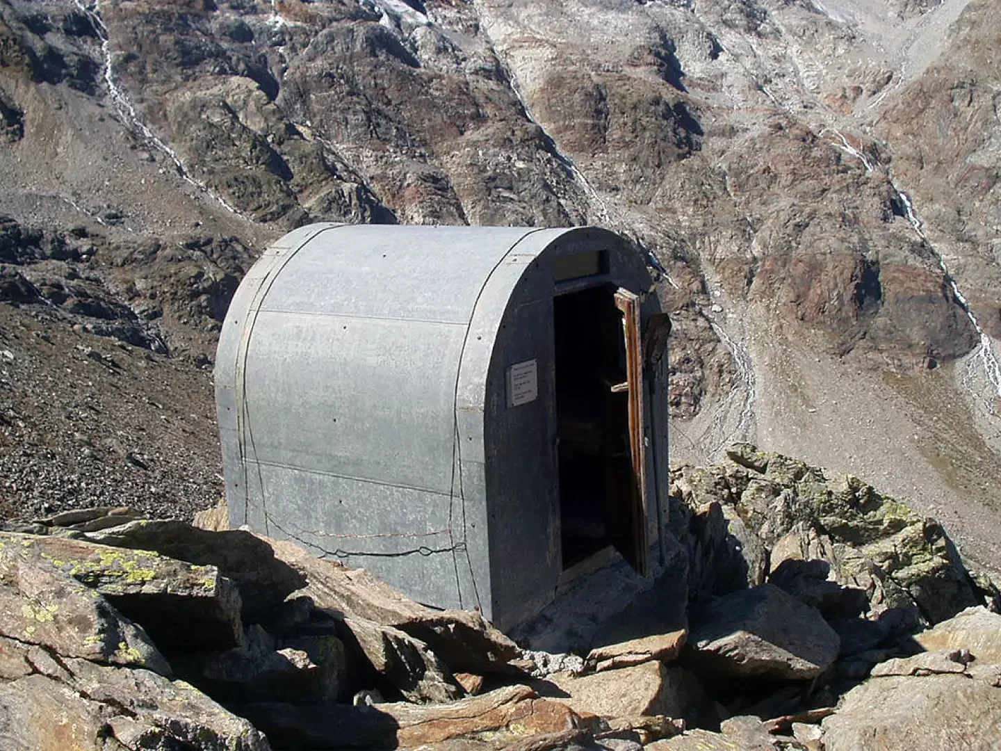
Martinotti bivouac, from the Valnontey car park

Edited by:
Ivano Ruffoni
Updated at: 07/06/2026
Access
Road navigation
At the motorway junction of Aosta West, enter the roundabout and take the second exit following the signs for / Cogne / Aymavilles. Continue on for 20.0km (20.0km) to the roundabout at the entrance to Cogne, where take the first exit onto Avenue G.F. Cavagnet (350m, 20.35km). Continue on Via Bourgeois (120m, 20.5km), then turn right onto Rue Grand Paradis. Follow Rue Grand Paradis for 2.4km (22.9km), continue on Frazione Valnontey for 210m (23.1km) and turn right to reach the car park.
Parking
At the end of the road is the 🅿️ car park in Valnontey, the access point to the Gran Paradiso National Park. Check on site for access conditions and any seasonal restrictions imposed by the park authority.
Access by public transport
The Valnontey car park can be reached by the Cogne urban circular line run by SVAP. The reference stop is Cogne Valnontey. The winter service runs every weekday and on holidays, except on 25 December and during the summer period; the runs serving the Valnontey stop depart from Cogne Revettaz at 09:00, 10:05, 11:10, 12:40 and 15:00, arriving in Valnontey at 09:25, 10:30, 11:35, 13:05 and 15:25 respectively. For updated timetables please consult the timetable SVAP - Cogne Urban Line.
Distance and travel time
🕒Travel time: 35 minutes
📏 Distance: 23.5km
GPS navigation
Information note
The information provided has been verified as of the date of the survey of the itinerary. Before departure, it is recommended to check possible changes in the route or road conditions. Please consult Google Maps or Apple Maps for the latest information.
.Introduction
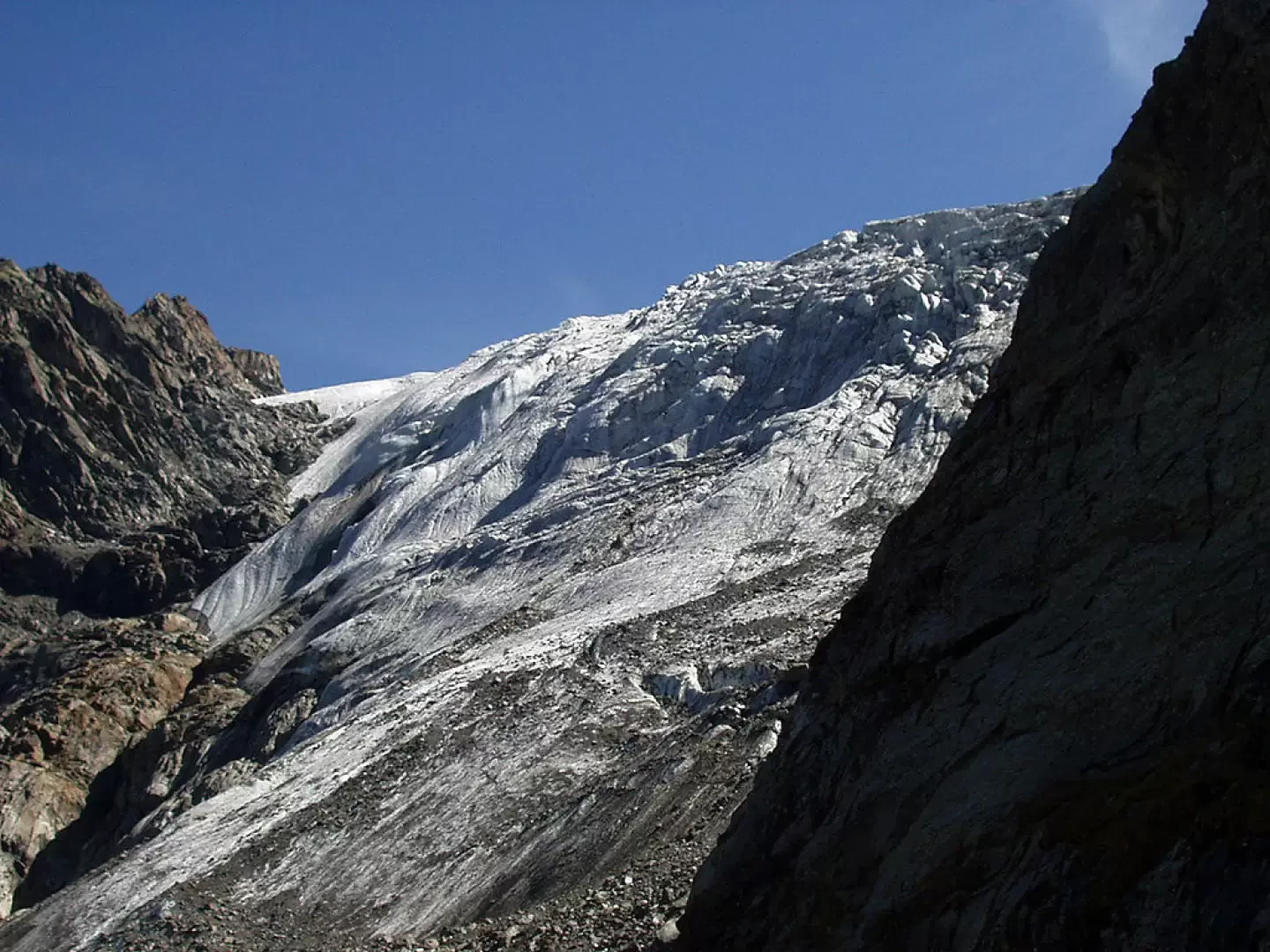
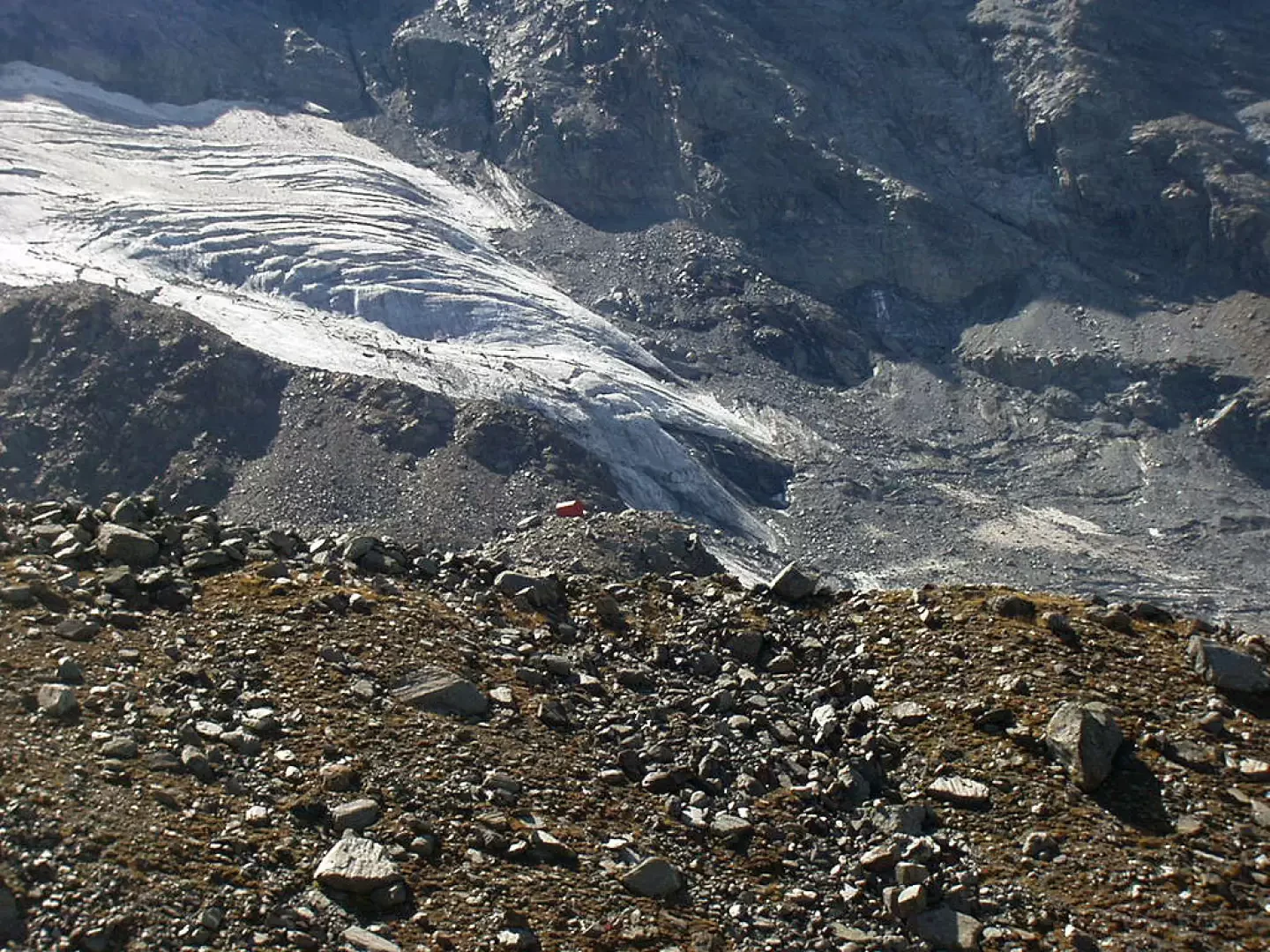
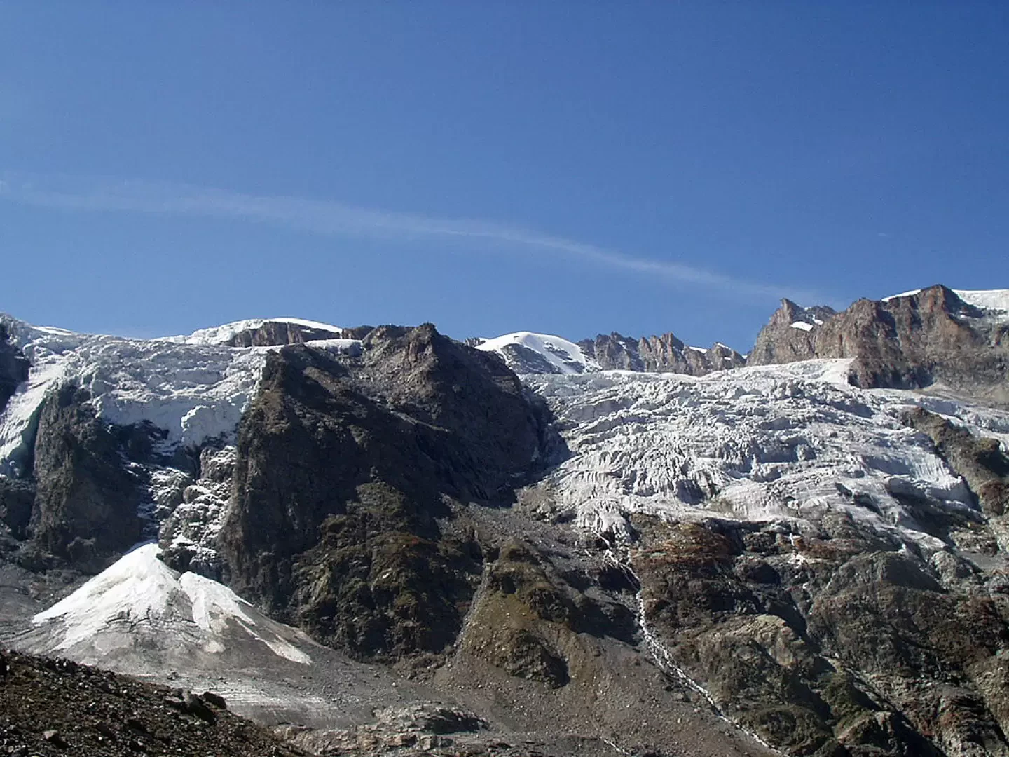
The Martinotti bivouac, built in 1930 and dedicated to the Biellese mountaineer Alessandro Martinotti who died in 1927, stands on a small rocky terrace at the end of the north-west ridge of Roccia Viva (Mont Roche). Together with the nearby Borghi bivouac, it is the starting point for ascents to Roccia Viva, Testa della Tribolazione and Becca di Gay. The itinerary runs all along the Valnontey and then climbs the steep scree slope separating the Money glacier from the Grand Croux glacier. From the bivouac, one has, to the east, great views of the Tribulation glacier and, to the west, of the Money glacier. Not far from the bivouac, the orange outline of the Borghi bivouac on a rocky spur in the middle of the Grand Croux glacier is recognisable.Description
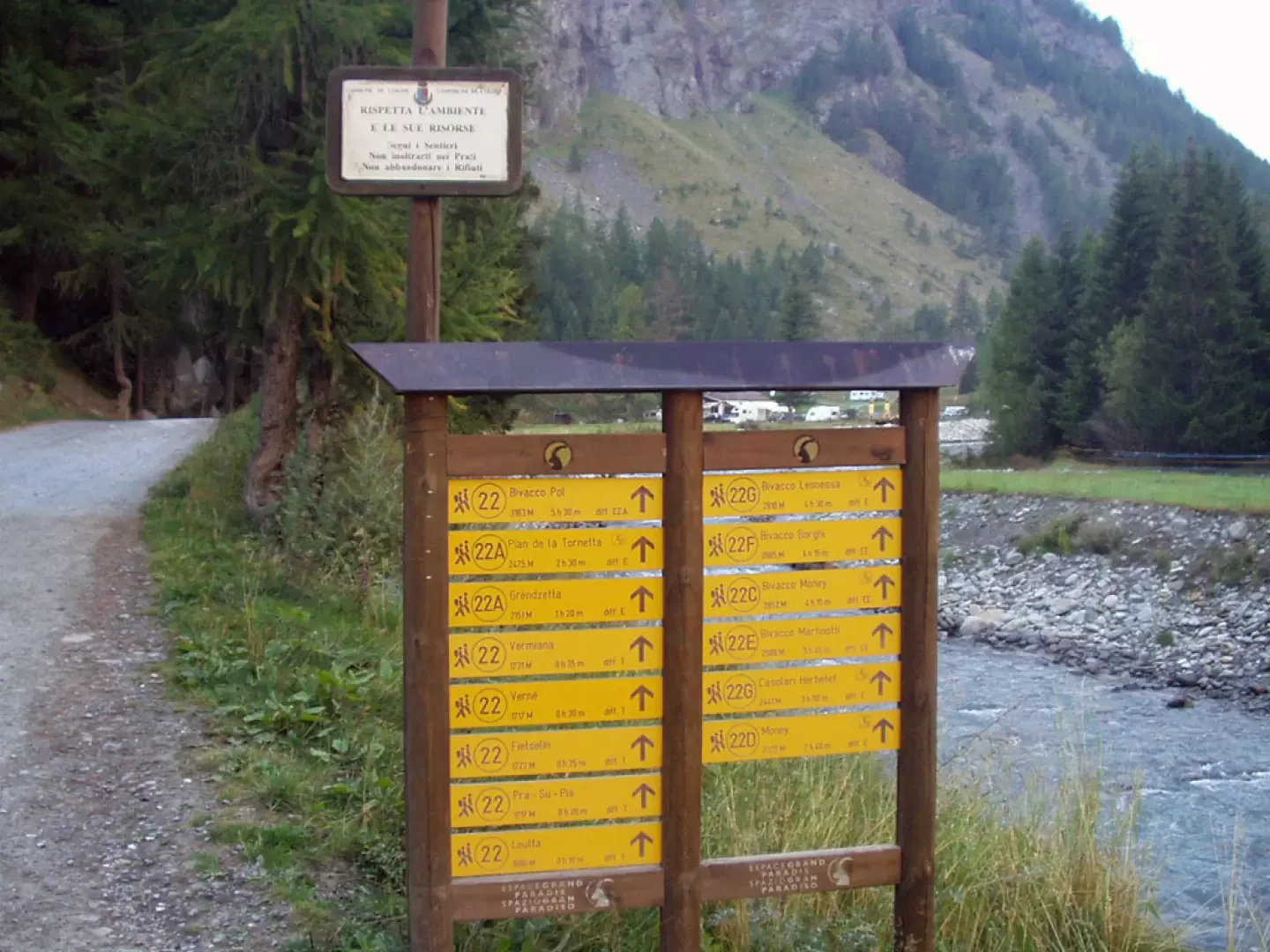
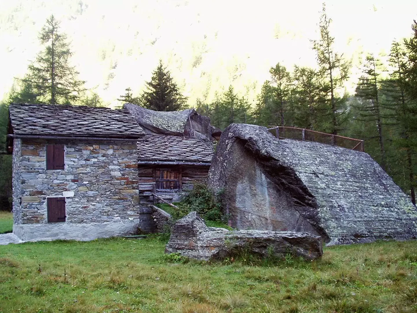
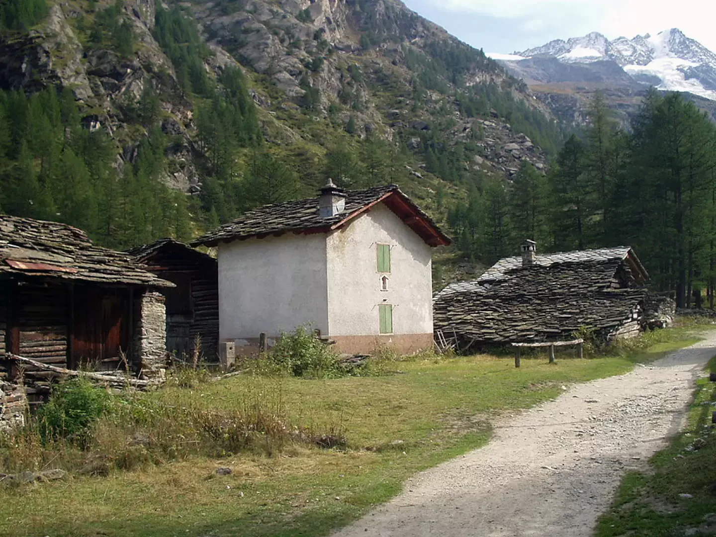
0h00' From the car park in Valnontey (1666m), continue along the road to the orographic right of the stream, pass the information sign indicating the start of the signpost and all its variants, pass the Gran Paradiso campsite and enter the forest. After a few minutes' walk, you come to the turnoff to the left, signposted for Plan de la Tornetta, pass by a water intake and reach the characteristic grouping of Davids, built around two large rocks. The dirt track passes by a bridge (selling dairy products on the opposite bank) and heads towards the clearing where the village of Vermiana - Vermianaz (1729m, 0h30') is located.
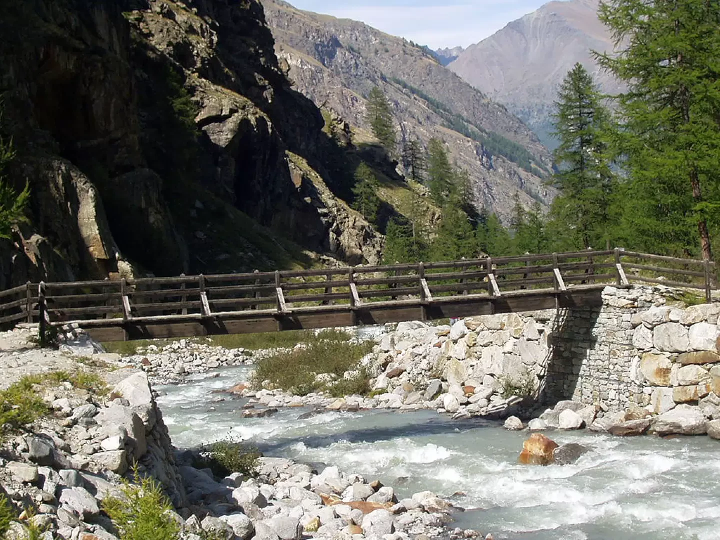
After a 7-8 minute walk, leave the dirt track (which ends shortly afterwards) and take the path to the left that enters the forest at a moderate gradient. Continuing close to the stream, often with a view of the northern slopes of the Gran Paradiso, you come to the crossroads with the marker for the Money bivouac and continue for about ten minutes to Pont des Erfaulets (1830m, 1h00').
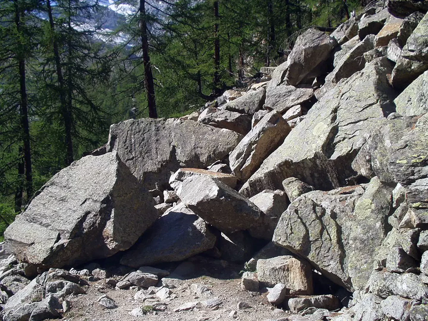
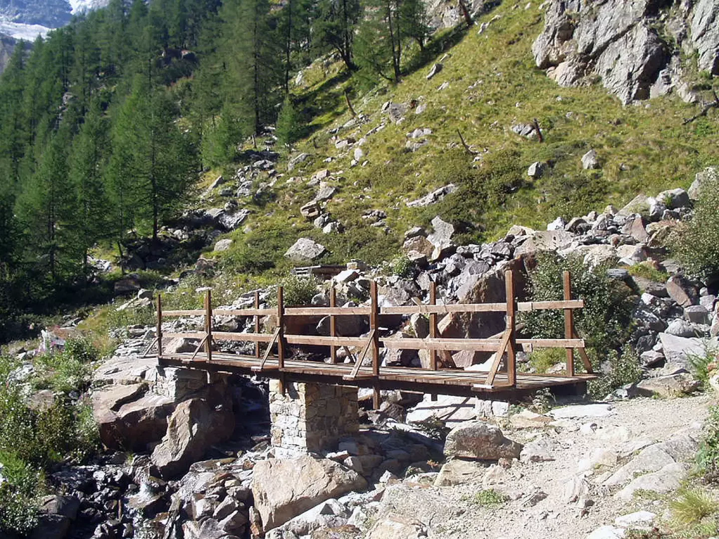
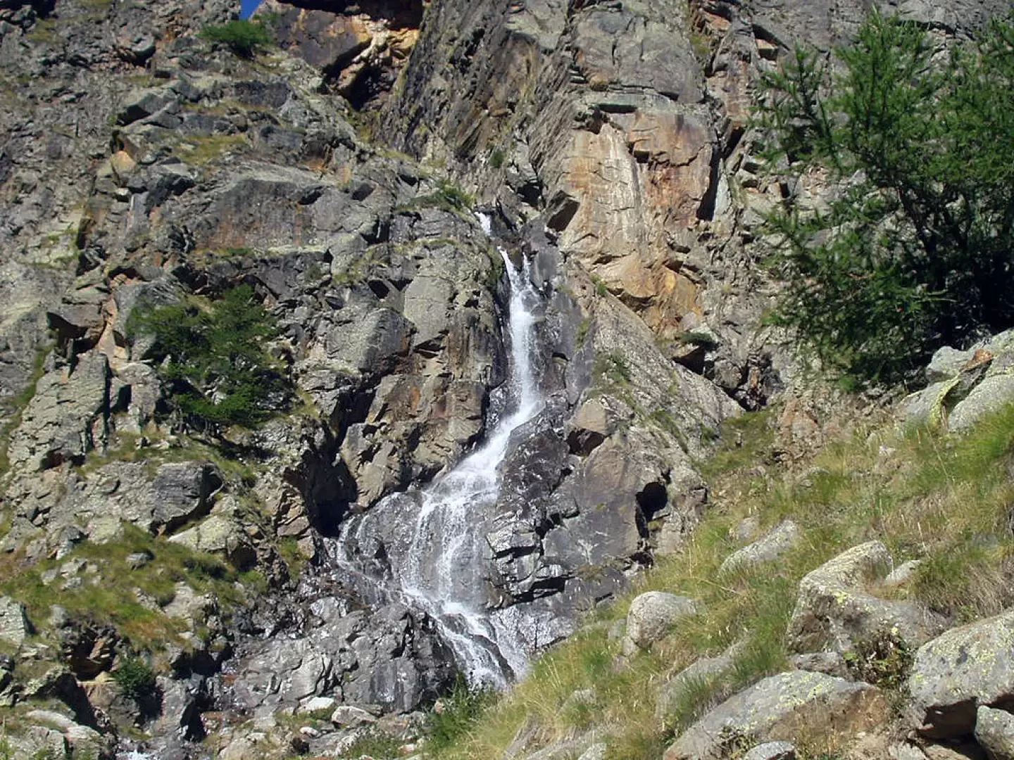
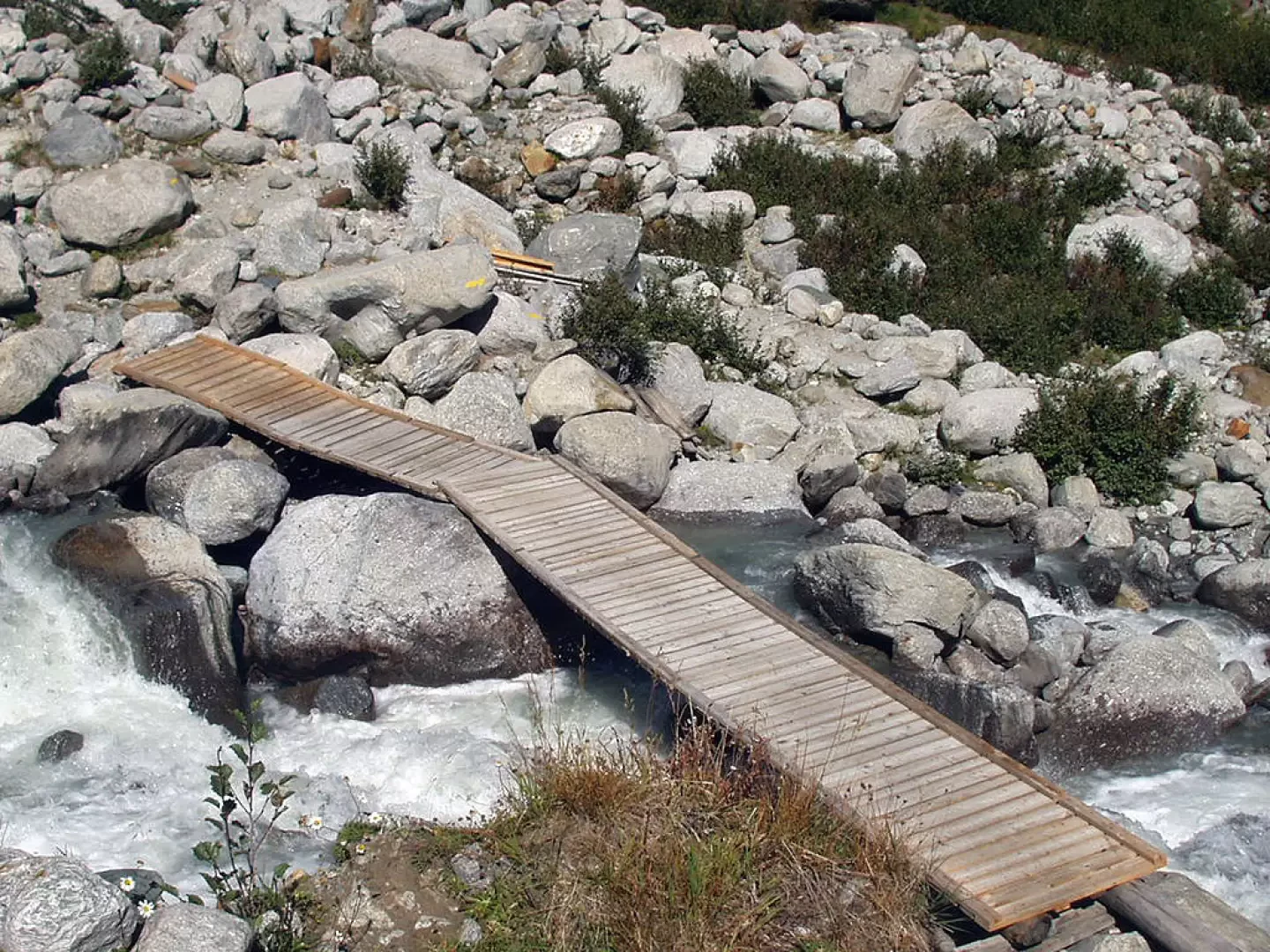
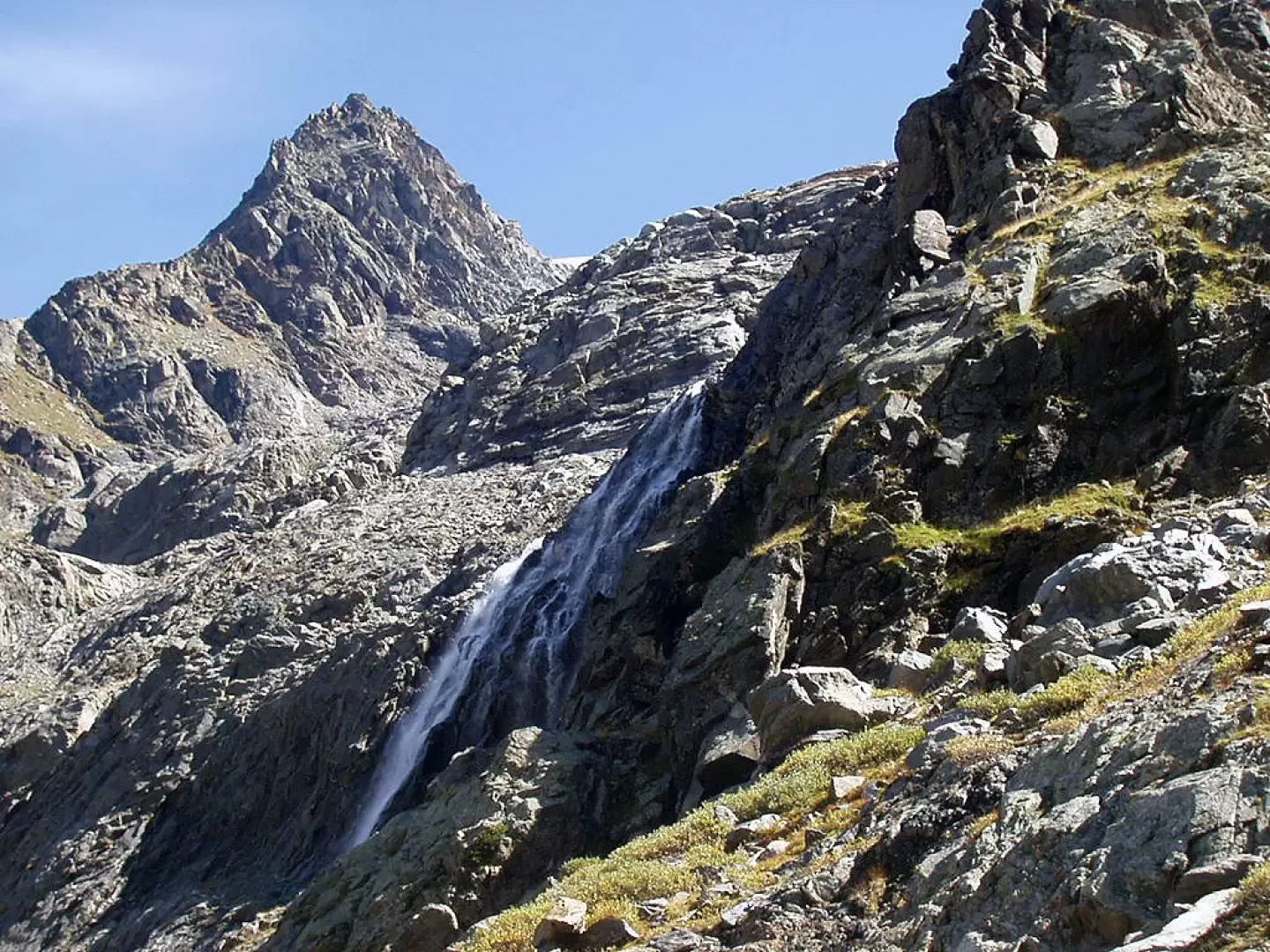
Initially with a modest incline, enter the forest, cross a few landslides and continue on the path, with a few stepped sections, until reaching an extensive landslide of large boulders, followed by a couple of wooden bridges, just near a waterfall coming down from the Herbetetet valley (1995m, 1h30'). Proceeding under a vertical rock face for about 15 to 20 minutes along other stepped sections, you reach the junction with the signpost (22G) for the Leonessa Bivouac. Coming out of the wood, at the next fork you leave the signpost for the Pol and Gerard Grappein Bivouac, keep to the left and cross the Valnontey stream on a couple of footbridges. The most strenuous part of the itinerary now begins. The trail leads to the turnoff for the "Traversata Alpe Money" signpost , climbs a small gully of stones and leads to the next fork for the Bivacco Borghi (2225m, 2h20'), signpost .
With great views, on the right, towards the "Glacier of the Tribulation" follow the trail sign
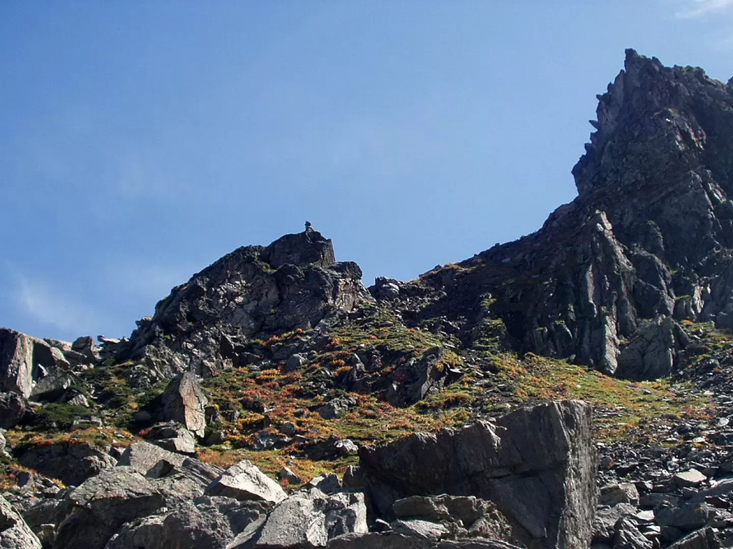
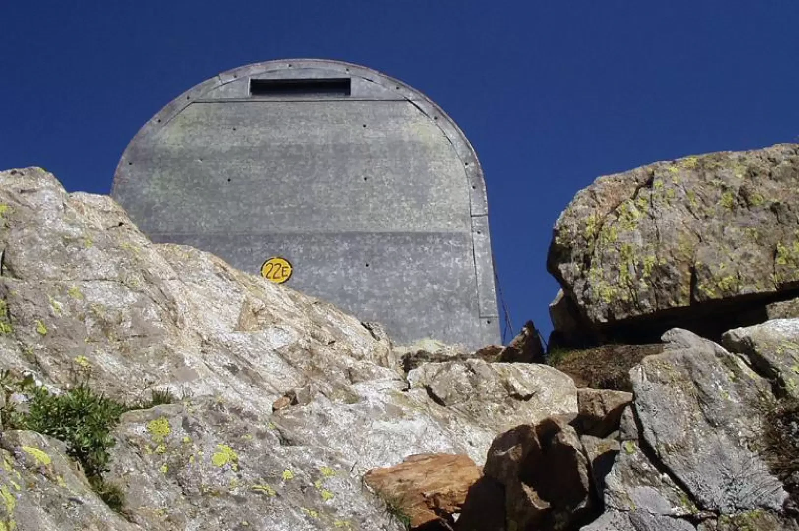
that goes up, with another small gully of stones, directly to the crest of a grassy ridge, you can glimpse on the left a beautiful waterfall formed by the stream that descends from the "Glacier of the Money" and you arrive, after a few stretches on large blocks, at a small plateau. One last stretch on a steep scree slope and you reach the Bivacco Martinotti col (2588m, 3h20'), marked by a large cairn a few metres away.
The descent is along the same route: descend to the junction for the Borghi bivouac (2225m, 0h40'), go down to the Herbetetet waterfall (1995m, 1h20'), take the orographic right bank to the Pont des Erfaulets (1830m, 1h45') and along an easy path followed by a dirt track to Vermiana (1729m, 2h15') and then to the Valnontey car park (1666m, 2h45').
Galleria fotografica